
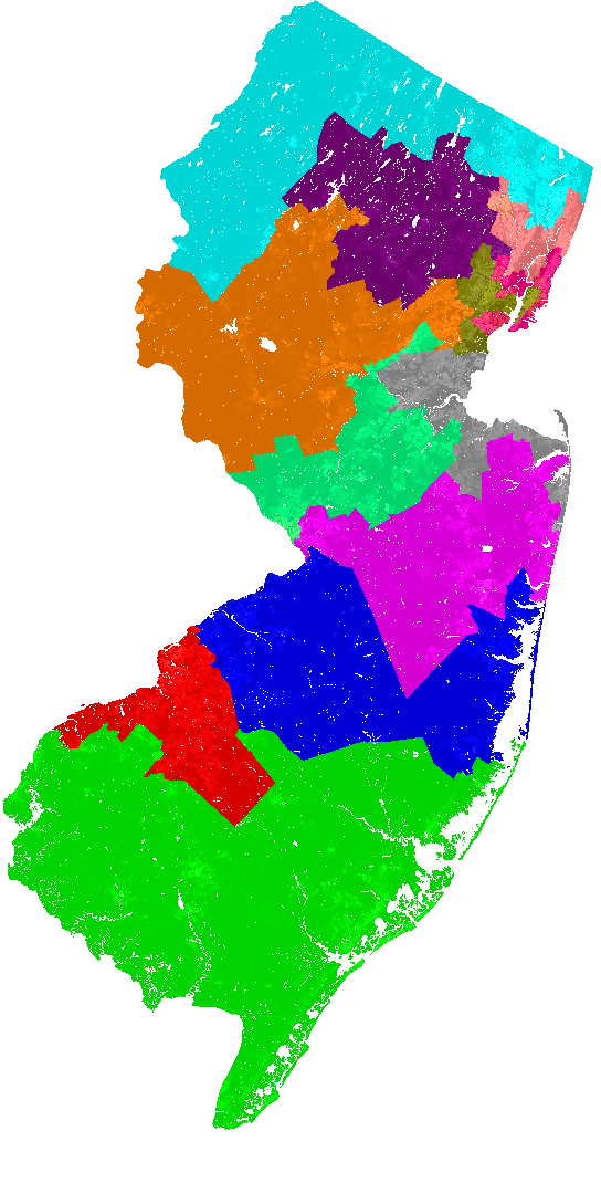
These maps by the website BDistricting show two ways of dividing the Garden State into Congressional voting districts with roughly equal population. (Under Article I, Section 2 of the Constitution, each State is apportioned a number of federal representatives which approximately corresponds to its share of the aggregate population of the 50 States, although every State is constitutionally guaranteed at least one House seat.) The map on the left shows the work of a computer algorithm designed to draw the Congressional voting districts in New Jersey in a logical and “optimally-compact” way. The map on the right, by contrast, shows the State’s current Congressional districts, which are drawn by flesh-and-blood people with vested political interests in “gaming the system,” in deciding how voters are apportioned. Look up your State’s voting map here.
 |
 |
By the way, who do you trust more to draw up fair voting districts: computers or humans? … That’s what we thought!
(Hat tip (again) to the amazing Max Ehrenfreund.)

